Πριόνια προς Μύτικα Summit via Refuge A
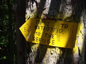
Prionia – Spilios Agapitos – Skala – Mytikas
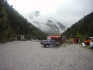
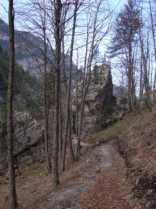
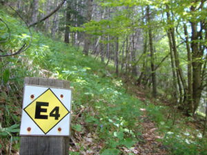
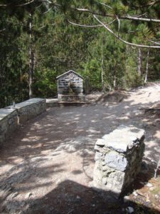
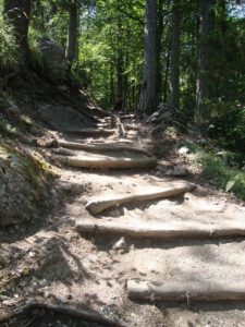
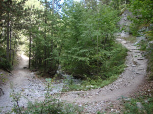
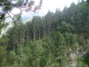
The route from Prionia (1100 m) to Spilios Agapitos Refuge (2100m) is the most frequented hiking path on Mount Olympus and makes up a part of the E4. It is the continuation of the Litochoro – Prionia path. Prionia is the highest point which can be reached by car (it is 18 km from Litochoro) and here there are parking spaces. The source of the Enipea River is also to be found here and a cafe-restaurant operates in Prionia all year long. The majority of the walk is through the forest.
It is worth noting at this point that you should take advantage of the facilities. There are also public toilets, and any water reservoirs, flasks, etc can be filled from the spring. The cars can be left overnight or for long periods.
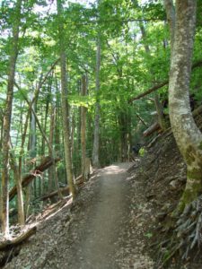
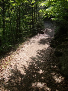
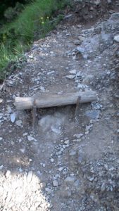
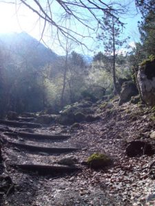
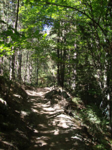
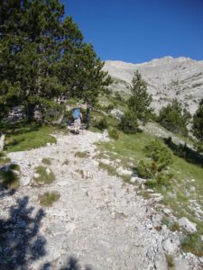
The path is in very good condition and the combination of thick pine trees with beech and fir trees lend a unique charm to the place. There are several vantage points to see the view, as well as two convenient seating places at roughly 1⁄3 and 2⁄3 distances (please remember not to leave litter at these spots).
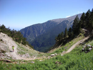
At about 2⁄3 you will enter a open section, which zig-zags to the final refuge location. As you enter this section you can see the refuge perched high above on the outcrop. This section can be quite tough as you are already tired from the previous sections, and in summer is open to the sun. So be cautious of dehydration and sunburn (the sun at altitude has stronger UV issues).
Spilios Agapitos Refuge is located on a natural flat surrounded by impressive age-old Bosnian pine trees.
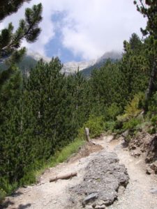
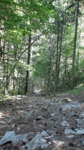
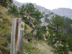
The path from Spilios Agapitos, first thing in the morning, can seem tiring, as it zig-zags up the main E4 behind the refuge to follow the Chondro Mesorrachi ridge up to Skala. The first part of the path has some tree cover, and passes through some lovely landscape with fabulous views. As the altitude increases, and the lack of oxygen prevents trees from growing, the path opens out. This forms a zig-zagging path that reaches a benched vantage point, just before the Zonaria fork in the path (on the right at 2480m). Here you can take a well deserved break.
The next section can be gruelling (especially depending on the weather), so be warned to take plenty of water, and protect yourself against UV affects at altitude. After the respite, the path turns to loose gravel and climbs steadily for over 1 km to Skala (the first peak you will reach on this path, at 2866m). This is in fact the most tiring part of the path, and it is advised to rest at points on the ascent. Also, note that due to the geographic formation of the gorge inside the summit of the peaks, very cold winds can blow here and so even on sunny days, it is advised to take smoothing to cover yourself in the event of changeable weather.
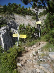
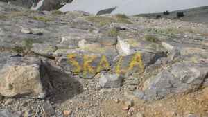
You will finally reach Skala. A convenient small peak, that is a fork in the road to Skolio (the second highest peak) and Mytikas. Here you can gather with the other climbers, and enjoy their company, and rest a while before attempting Mytikas. It is advised that you leave as many of your possession here at Skala, but try to carry valuables with you. this is where the path becomes a little more difficult. You take a small marked path to Mytikas. From Skala continue following the red markings on the rocks along the route called Kakoskala (bad steps), thus named due to the natural steps which lead to Mytikas. It should be noted that this stretch of the route is quite challenging. However, it seems to be ill-named as there has not been a recorded accident here during summertime treks.
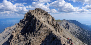
Once you have ascended and over Kakoskala, there are two difficult sections where you have to slide over rocks, to continue the path, but from then on it’s the peak. Be careful as well, as the slope to the peak (on the right) is loose gravel and you can loose your footing, and that would mean a 1000m drop. At the top of Mytikas (2918m) you will see one of the most magnificent views of Olympus, Greece and the surrounding territories. On a clear day, you are able to see as far as Albania and Bulgaria in the North, and Chalkidiki in the east. There is a visitors book at the peak for you to sign.
There is a slightly easier route to the second peak, if the Kakoskala seems a little too daunting. From Skala you continue on slightly to the left and rise to Skolio, the second peak. Again there is another visitors book, and a most amazing view back at Stefani and Mytikas. It is a worthwhile trip to visit both peaks for a completely different persecutive from both.
Πριόνια Μύτικας